 vesseltracker.com
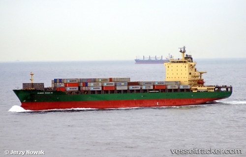
Vessel MSC VAIGA III IMO: 9315836, MMSI: 636021031 Container Ship
UTC, 33.28641, 127.71541, course: 41, speed: 11.6
UTC, 33.52623, 127.98829, course: 41, speed: 11.7
2026-02-21 21:51:13 UTC, 33.81457, 128.27560, course: 37, speed: 12
Live AIS position:
UTC. 44 nm S of Kukdo),
updated 2026-02-21 21:51:13 UTC.
Find the position of the vessel MSC VAIGA III on the map. The latter are known coordinates and path.
marine traffic ship tracker show on live map
The current position of vessel MSC VAIGA III is 33.81457 lat / 128.27560 lng. Updated: 2026-02-21 21:51:13 UTCCurrently sailing under the flag of Liberia
MSC VAIGA III built in 2005 year
Deadweight:
39275 tDetails:
Last coordinates of the vessel:
UTC, 32.98966, 127.41661, course: 42, speed: 13.5UTC, 33.28641, 127.71541, course: 41, speed: 11.6
UTC, 33.52623, 127.98829, course: 41, speed: 11.7
2026-02-21 21:51:13 UTC, 33.81457, 128.27560, course: 37, speed: 12